Land Surveyors in the South West, Serving local and national markets
Monument Geomatics is a land survey company situated in Gloucestershire with a staff base that has over 50 years of combined experience within the industry.
Monument Geomatics are land surveyors in the South West. Located at the edge of the beautiful Forest Of Dean in Gloucestershire, we are conveniently located for the M5, M4 and the M50. Ideally positioned to serve the Midlands counties of Gloucestershire, Herefordshire, Worcestershire and Warwickshire as well as Wales and the South West.
Whatever the scale of the project we can provide a bespoke service to ensure that all requirements are met, whether your need is for a small garden survey, measured building survey (building floorplans, elevations) or a large/small scale topographical survey.
We provide surveys that bring insight and added value to work as varied as land development projects, highways design, recreating structural plans, and asset management.
With expertise in a broad range of surveying techniques, instrumentation and methodologies, and continual investment in both technology and training we provide the right combination to deliver the information required in the most efficient way.
Our land surveyors team appreciate that accurate data is an essential part of a successful project.
By listening to our clients’ needs, we provide optimum solutions to budget and to schedule.
Recent projects
We draw on Monument’s expertise in: remote sensing, terrestrial laser scanning, geodesy and global positioning systems (GPS), 3D visualisation, high precision deformation monitoring, small inland hydrography and large-scale topographical mapping.

Optimum solutions to budget and to schedule
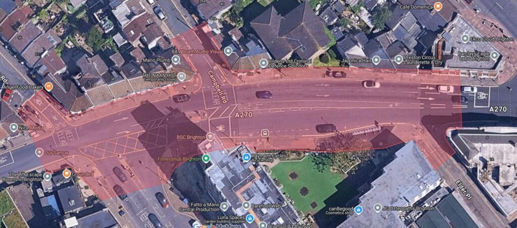
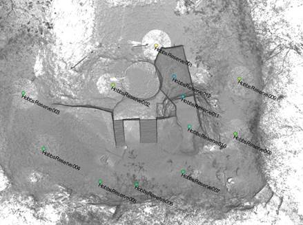
Topographical Surveys
Monument uses the latest high accuracy total stations, GPS and digital levels to determine fit for purpose control networks from which survey observations are taken. Data is processed using advanced survey software LSS from which client specified products can be outputted and delivered. This ranges from MX-Moss text outputs to 3D AutoCAD drawings. All information can be exported to the clients specific needs on layering and point coding etc.
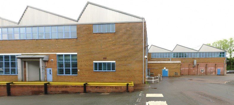
Measured Building Surveys
We are able to undertake large scale data acquisitions for internal floor plans and the surveying of building elevations to produce high quality and detailed AutoCAD drawings. This data can be used to create realistic and accurate models from which to design or evaluate further site developments. Accurate 3D measurements can be taken from the CAD drawings. These models are a flexible tool for visualising complex structures, inside and out.