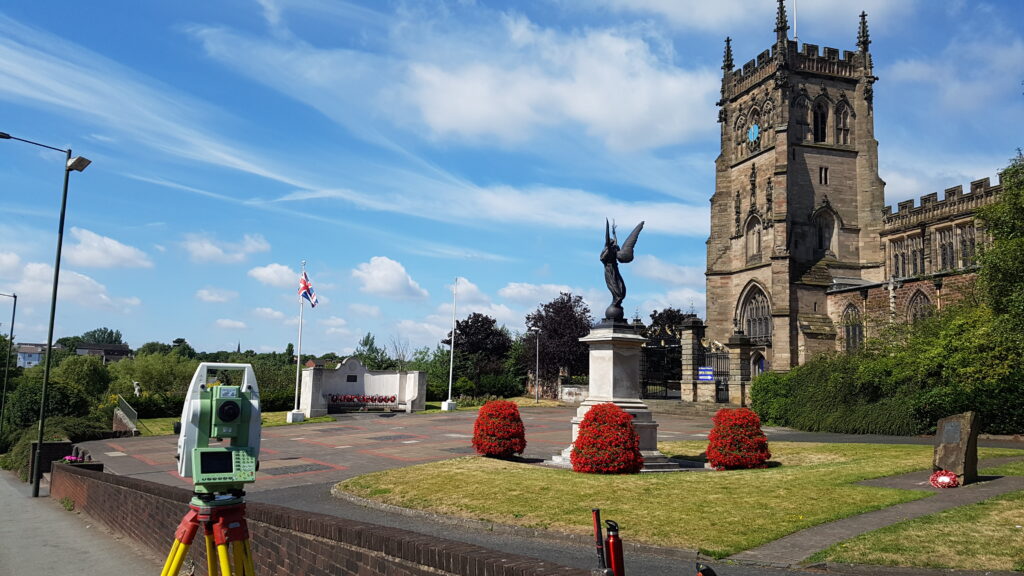
Monument uses the latest high accuracy total stations, GPS and digital levels to determine fit for purpose control networks from which survey observations are taken. Data is processed using advanced survey software LSS from which client specified products can be outputted and delivered. This ranges from MX-Moss text outputs to 3D AutoCAD drawings. All information can be exported to the clients specific needs on layering and point coding etc.

These type of surveys range from 1 day to larger-scale 2 or 3 week surveys, including:
- Highway Surveys
- Rural Surveys
- Boundary Clarification Surveys
- Level Surveys
- GPS Surveys
- Residential plot/garden surveys
- Volumetric analysis and earthworks design
- Land registry plans
- Flood Risk Assessment Surveys
