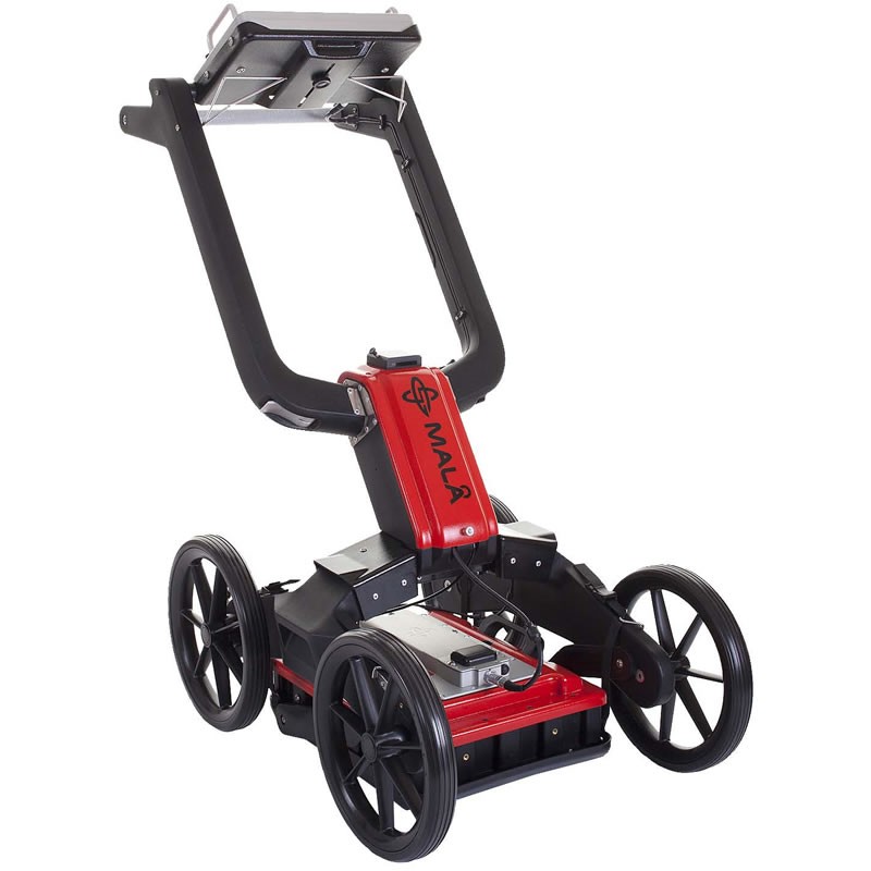
Monument uses Ground Penetrating Radar (GPR) and Radiodetection Equipment to identify and locate underground utilities.
These findings can then be marked up on site or
overlaid onto a 3D/2D Topographical survey.
Monument can also provide drainage connectivity surveys which can be tailored to the project requirements and provide basic info such as chamber size, depth, pipe size, flow direction, condition etc.
All utility surveys can be undertaken to client supplied specification or PAS 128 Standards.
What is PAS 128?
PAS 128 provides a robust methodology for delivering utility surveys in the UK. It focuses on levels of accuracy – referred to as Survey Category Types – that you can specify when requiring a PAS 128 compliant underground utility survey.
There are four Survey Category Types ranging from D – A:
- PAS 128 Survey Category Type D
Underground utility plotted from utility record data only (not detected by geophysical methods).
- PAS 128 Survey Category Type C
Underground utility plotted from utility record data only, but with site reconnaissance to match utility record with physical utility street furniture as a best fit.
- PAS 128 Survey Category Type B
Utility detected by geophysical methods (single or multiple) to obtain a horizontal position and/or vertical position. (Depth)
- PAS 128 Survey Category Type A
Utility verified and positioned by physical identification. This may be by excavation or by visual inspection within a utility chamber.
