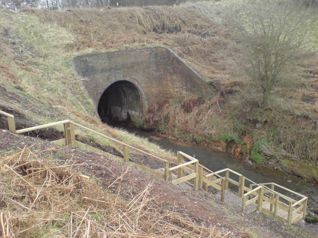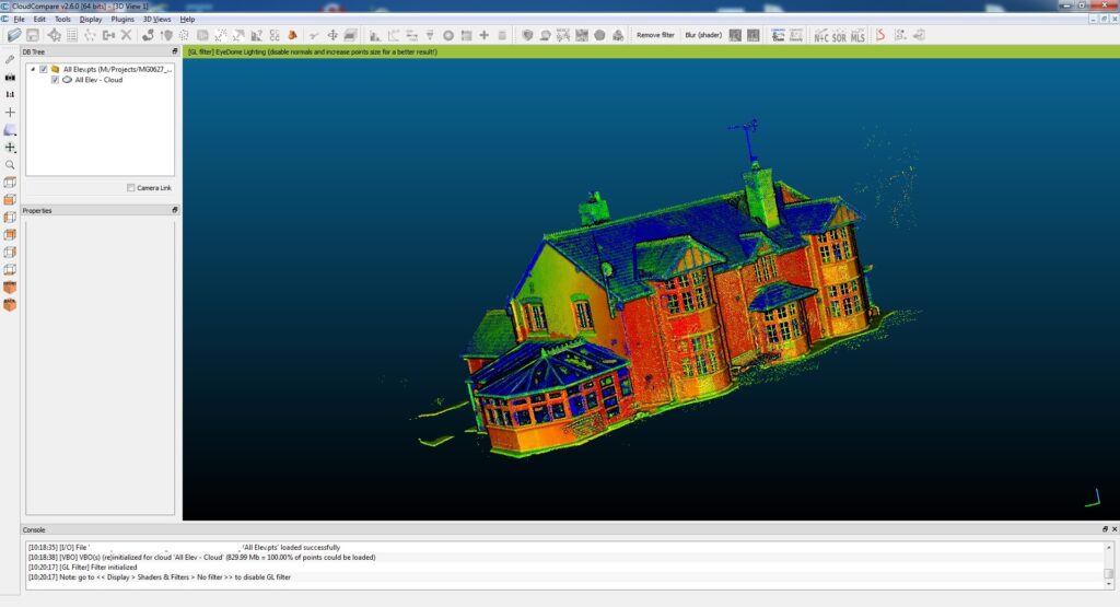
Monument can provide Bespoke Laser Scanning survey solutions. Our laser scanning survey capabilities enable us to survey remote or inaccessible areas, such as quarries, coastlines or busy roads without endangering personnel or affecting traffic flow. Laser Scanning is also very useful for Heritage Sites & Historic Buildings.
Utilising short, medium and long-range Laser scanning equipment, a range of applications and products can be extracted from the surveyed 3D point Cloud.

