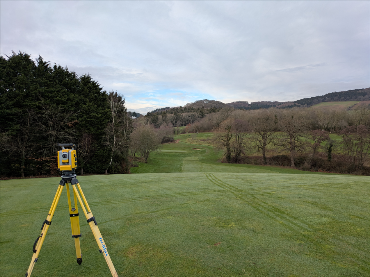
Brief overview of project
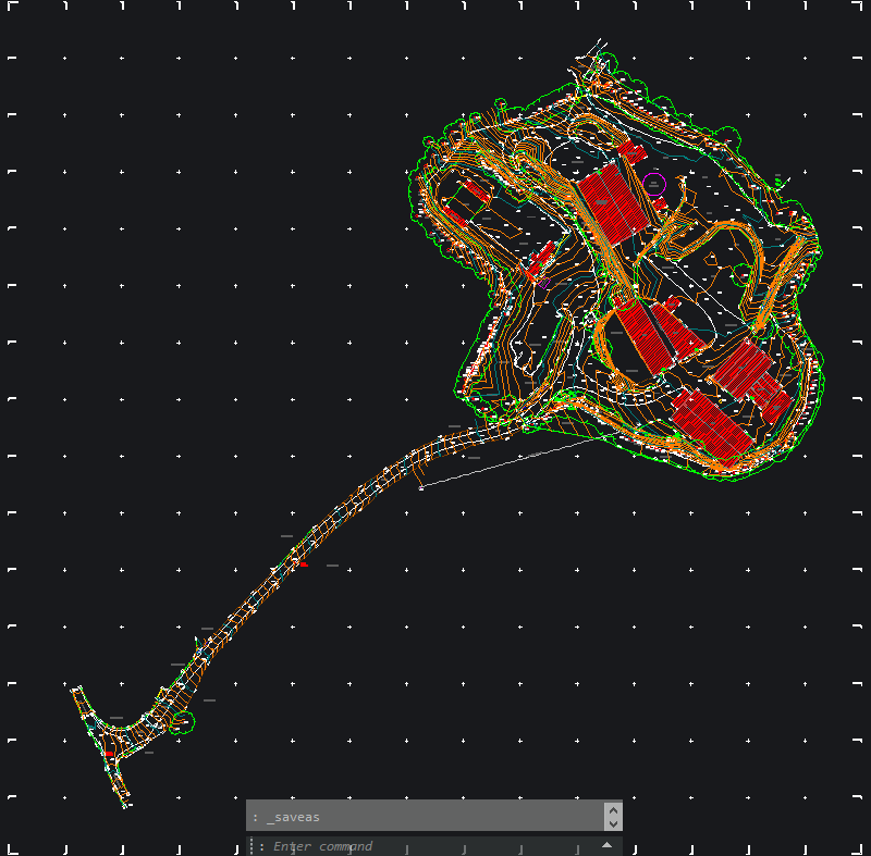
- Building Footprints & Structures: Mapped precise dimensions, ridge/eave heights, and layout of existing barns and greenkeeper workshops.
- Ground Levels & Terrain: Captured high-density spot levels and contours across surrounding terrain to evaluate site drainage and access.
- CAD Ready Data: Delivered 2D/3D CAD drawing layers (.DWG) to provide designers with an accurate baseline for planning and civil works.