over 50 years of combined experience
Serving national markets in the survey and construction industry.
Serving local and national markets
Monument Geomatics is a land survey company situated in Gloucestershire with a staff base that has over 50 years of combined experience within the industry.
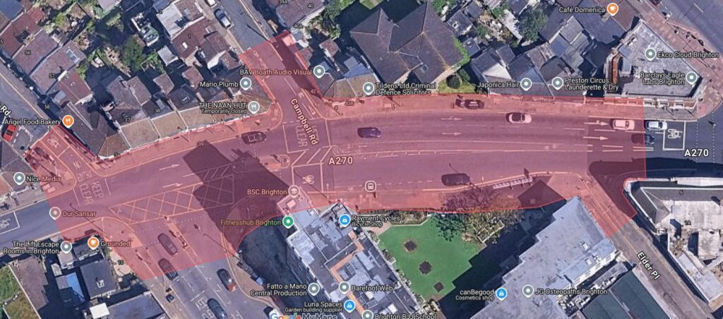
Monument Geomatics Ltd. was formed in 2009, recruiting a workforce that has over 50 years of combined experience within the survey and construction industry. Based in Mitcheldean within the Forest of Dean, Gloucestershire, we are well placed to serve national markets due to our proximity to the M5, M4 & M50.
Our staff are responsible for our success and growth. Continued professional development within the company ensures that both our team and our service levels continually advance.
Monument operates a quality management system which has been planned and implemented by our operational staff. This ensures that our approach is both appropriate and efficient in providing a quality service.
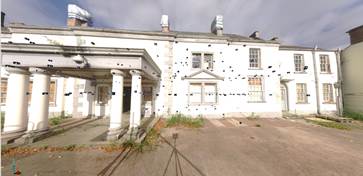
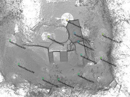
The aim of Monument Geomatics team is to add value to data. By listening to our customers and stakeholders needs, we provide optimum solutions to budget and to schedule. We work with our clients to provide bespoke survey solutions in the areas of data acquisition, management, analysis, integration and visualisation.
We draw on Monument’s expertise in: remote sensing, terrestrial laser scanning, geodesy and global positioning systems (GPS), 3D visualisation, high precision deformation monitoring, small inland hydrography and large-scale topographical mapping.
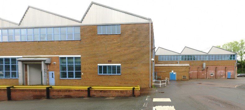
Recent projects
We draw on Monument’s expertise in: remote sensing, terrestrial laser scanning, geodesy and global positioning systems (GPS), 3D visualisation, high precision deformation monitoring, small inland hydrography and large-scale topographical mapping.