
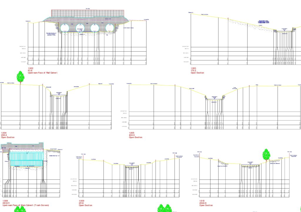
Monument Geomatics will design the scheme in collaboration with the client to the Environment Agency v3.2 spec. Survey work is carried out at the required positions along the watercourse in order that true channel profiles are measured. Survey sections are processed & final drawings are produced in AutoCAD. Channel surveys can range in size from one or two sections on a short stretch of watercourse to a river several kilometres in length requiring sections every 50m.
Watercourse surveys with ISIS, HECRAS, EEBY output can be undertaken to Environment Agency specifications for input into flood modelling forecasting packages.
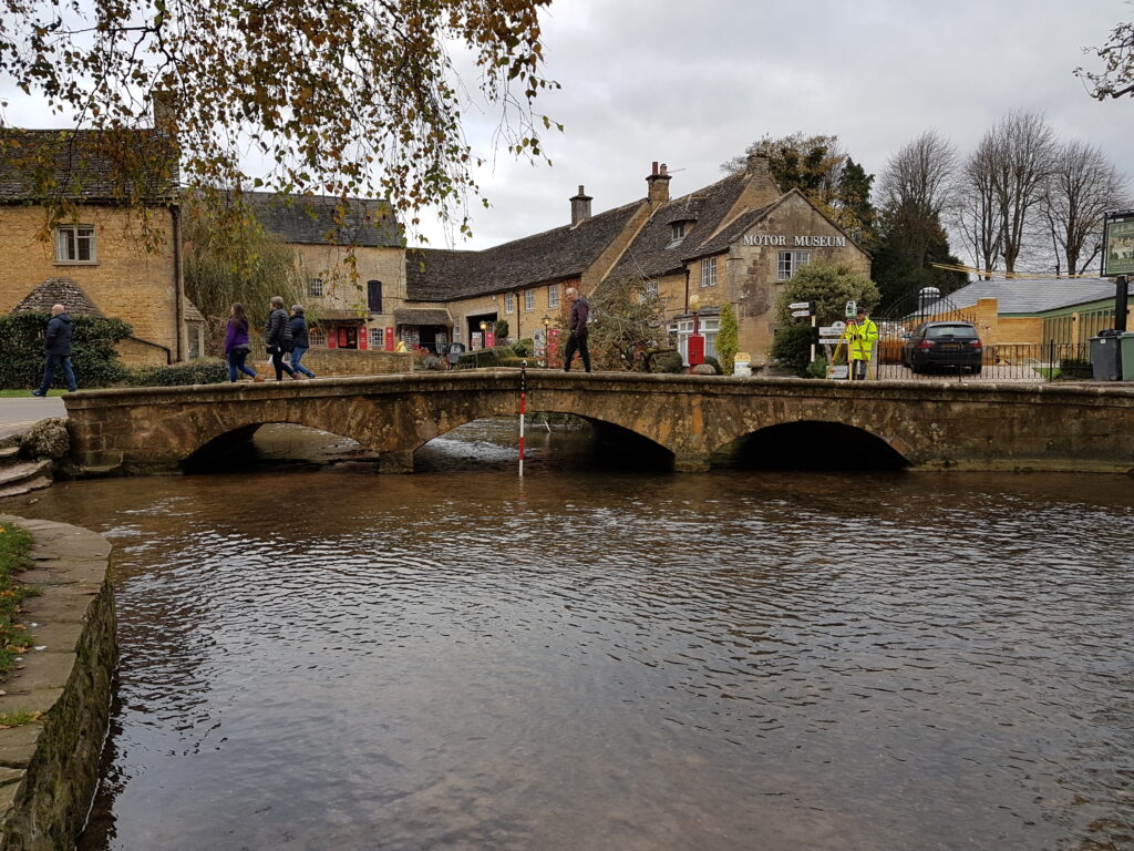
Our multi-disciplinary teams can also undertake surveys of bridges using either non-contact total station readings or on request full laser scanning to produce detailed plans and elevations. RYA qualified staff can provide boat cover that allows bridge inspection engineers to view structures from the watercourse.